Google Maps 6.0 for Android gets indoor maps

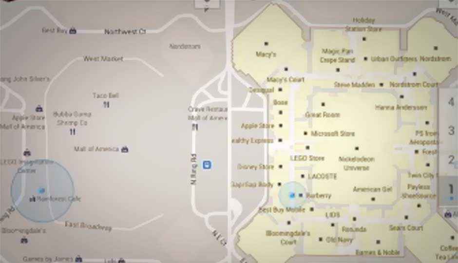
The latest version of Google Maps for Android (v6.0) now gives users the ability to navigate indoors, with new maps for indoor locations. Businesses and institutions interested in uploading their floor maps can check out maps.google.com/floorplans.
The Google Maps team has already mapped some important stores and public places in the U.S, with such locations as Macy’s, Ikea, The Home Depot, Bloomingdale’s, San Francisco International Airport, Narita International, and Chicago O’Hare Airport, to name a few.
Google Maps 6.0 for Android, both tablets and smartphones, will now display detailed floor plans of any building where they are available, and if the user is inside at the moment, will provide his/her approximate location in the premises with My Location’s blue icon, accurate to a few metres.
As you can imagine, GPS doesn’t usually work well indoors, and therefore, real-time user location updates will be powered by A-GPS, using cell-tower and Wi-Fi hub data to triangulate the user.
To be noted, is that though a business might be willing to share its floor plans with Google, the relevant country’s rules may require Google to get permission. This could be a stumbling block for some establishments, in certain countries.
Check out the below videos to learn more about indoor maps, as well as the official blog post.
“Don’t miss the Zero1 Awards in the December 2011 Collector’s Edition of Digit. Book your copy now!“

